skip to main | skip to sidebar

Matt's Map Catalog

Monday, August 4, 2008

Cadastral maps


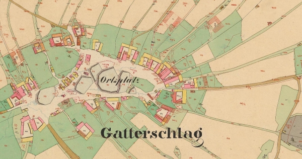
Cadastral maps are maps that show land ownership, survey lines, parcel numbers and other information useful when dividing land. The Bureau Of Land Management in the US has Cadastral maps of the entire United States. http://www.fig.net/hsm/news/franz/cz_orig_map_600.jpg
Posted by mhl06 at 11:04 AM

No comments:

Post a Comment

Newer Post Older Post Home
Subscribe to: Post Comments (Atom)

Blog Archive

  • ▼  2008 (51)
    • ▼  August (47)
      • Star plots
      • Correlation matrix
      • Similarity matrix
      • Stem and leaf plot
      • Box plot
      • Histogram
      • Parallel coordinate graph
      • Triangular plot
      • Windrose
      • Climograph
      • Population profile
      • Scatterplot
      • Index value plot
      • Lorenz curve
      • Bilateral graph
      • Standardized choropleth maps
      • Univariate choropleth maps
      • Bivariate choropleth maps
      • Unclassed choropleth maps
      • Classed choropleth maps
      • Range graded proportional circle map
      • Continuously variable proportional circle map
      • DOQQ
      • DEM
      • Digital Line Graph
      • Digital Raster Graphics
      • Isopach
      • Isohyets
      • Isotachs
      • Isobars
      • LIDAR
      • Doppler radar
      • Black and white aerial photo
      • Infrared aerial photo
      • Cartographic animations
      • Statistical Maps
      • Cartograms
      • Flow maps
      • Isoline maps
      • Proportional circle maps
      • Choropleth maps
      • Dot distribution maps
      • Propaganda maps
      • Hypsometric maps
      • PLSS maps
      • Cadastral maps
      • Thermatic Maps
    • ►  June (4)

About Me

My photo
mhl06
View my complete profile