
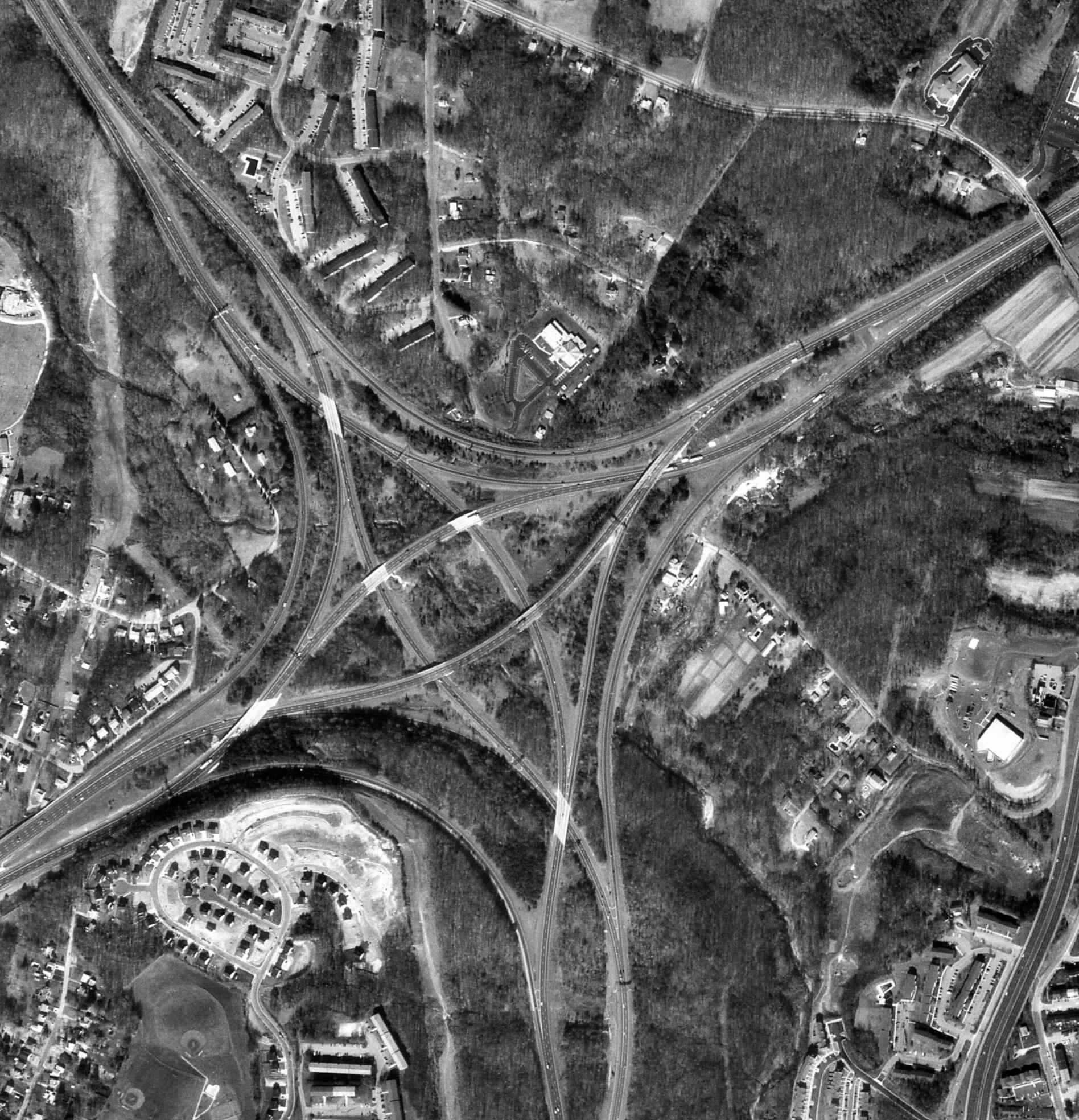
Black and white aerial photos are some of the most basic forms of remote sensing, by flying over an area and taking a picture we can analyse what is on the ground. This is especially used with search and rescue operations. This particular map was on the University of Toronto website and it shows an a highway interchange in Baltimore to analyse the tendancy of American drivers to prefer right turns and English drivers prefering right. http://www.math.toronto.edu/~drorbn/Gallery/KnottedObjects/Interchange/BWPositive.jpg

No comments:
Post a Comment